Bhutan is a landlocked kingdom of about 38,394 km² in the Eastern Himalayas, roughly the size of Switzerland. China's Tibet Autonomous Region lies to the north. The Indian states of Sikkim, West Bengal, Assam and Arunachal Pradesh lie to the west, south and east.
Three natural zones
1. The southern foothills (100–1,500 m)
Along the Indian border, the Himalaya drops into the plains of the Duars. This zone is hot and humid, with dense subtropical forest, bamboo jungle and grassland. It is home to elephants, rhinos and tigers in Royal Manas National Park. Border towns such as Phuentsholing, Gelephu and Samdrup Jongkhar are the land gateways into the country.
2. The inner Himalayan valleys (1,500–4,000 m)
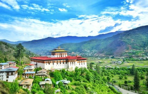
Most Bhutanese live in the fertile central valleys, among them Paro, Thimphu, Punakha, Wangdue, Phobjikha, Trongsa and Bumthang. Rice terraces give way to apple orchards, pine and oak forests and rhododendron woods higher up. This is where most tours take place. The climate is mild and the scenery changes dramatically with every pass.
3. The Great Himalaya (4,000–7,570 m)
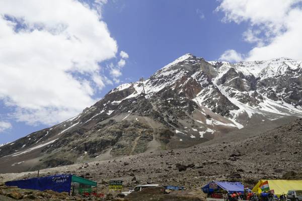
The far north is a land of glaciers, alpine meadows and snow peaks, many of them sacred and unclimbed. Only yak herders live here, in villages such as Laya and Lingshi. Gangkhar Puensum (7,570 m) is believed to be the highest unclimbed mountain in the world, because Bhutan banned mountaineering above 6,000 m out of respect for local beliefs. Jomolhari (7,326 m), on the Tibet border, is the jewel of Bhutan's classic treks.
Rivers and valleys
Four major river systems carve Bhutan's valleys from north to south before joining the Brahmaputra in India: the Amo Chhu (Torsa), the Wang Chhu (flowing past Paro and Thimphu), the Punatsang Chhu (Sankosh, meeting at Punakha Dzong as the Pho Chhu and Mo Chhu), and the Manas system with the Mangde Chhu and Drangme Chhu in the centre and east. These rivers power Bhutan's clean hydropower and provide some of the Himalaya's best white-water rafting.
Mountain passes ("La")
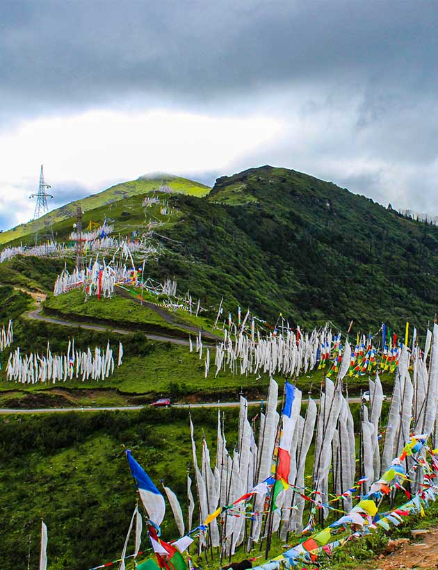
Valleys are linked by spectacular passes strung with prayer flags:
- Chele La (3,988 m), between Paro and Haa, one of the highest motorable passes, with views of Jomolhari on clear days.
- Dochu La (3,100 m), between Thimphu and Punakha, crowned by 108 memorial chortens with a sweeping Himalayan panorama.
- Pele La (3,420 m), the gateway to central Bhutan and the Phobjikha valley.
- Thrumshing La (~3,780 m), the pass between central and eastern Bhutan, through a national park famed for rhododendrons.
National parks and wildlife
More than half of Bhutan lies in national parks, wildlife sanctuaries and the biological corridors that connect them, letting animals move freely from the jungle to the snowline. Key protected areas include Jigme Dorji National Park, Royal Manas National Park, Wangchuck Centennial National Park, Phrumsengla National Park and Jigme Singye Wangchuck National Park.
Takin
Bhutan's unusual national animal, a goat-antelope of the high forests. See them at the Motithang Takin Preserve in Thimphu.
Black-necked crane
Endangered cranes winter in the Phobjikha and Bumdeling valleys from November to February.
Snow leopard & tiger
Bhutan is one of the few places where tigers have been recorded above 4,000 m, sharing ranges with snow leopards.
Birdwatcher's paradise
Over 700 bird species, including the rufous-necked hornbill, Ward's trogon and the rare white-bellied heron.
Flora is just as rich: more than 5,000 plant species, about 46 species of rhododendron, wild orchids, edelweiss and the elusive blue poppy. Spring turns entire hillsides red, pink and white.
For nature lovers: Ask about our bird-watching tours, Phobjikha crane festival trips and Himalayan treks, built around the best seasons for wildlife and clear mountain views.
Frequently Asked Questions
What is the highest mountain in Bhutan?
Gangkhar Puensum, at 7,570 m, is the highest mountain in Bhutan and widely considered the highest unclimbed peak in the world.
Can I see the Himalayas from Bhutan?
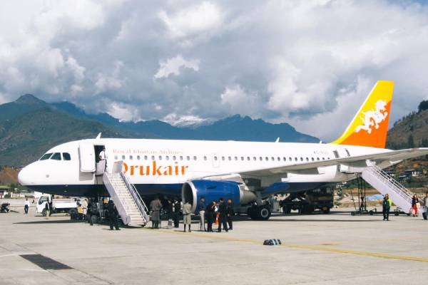
Yes. On clear days, Dochu La, Chele La and the flight into Paro offer superb views of the Himalayan range. The clearest skies are usually in October–November and December–February.
Is Bhutan really carbon negative?
Yes. Bhutan's forests absorb more CO₂ than the country emits, and most of its electricity comes from clean hydropower.
Last updated: 15 October 2026